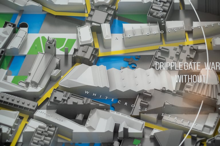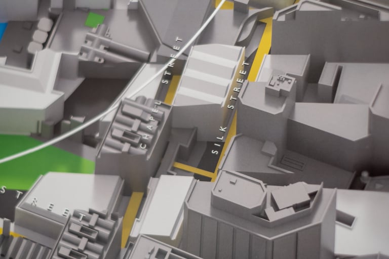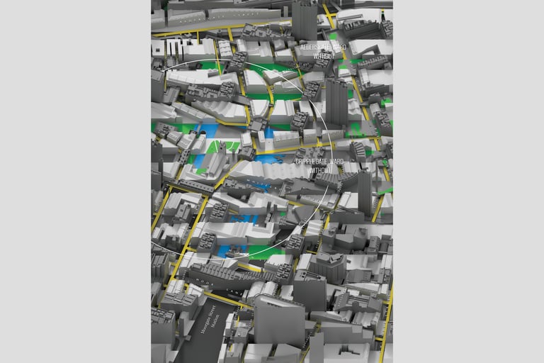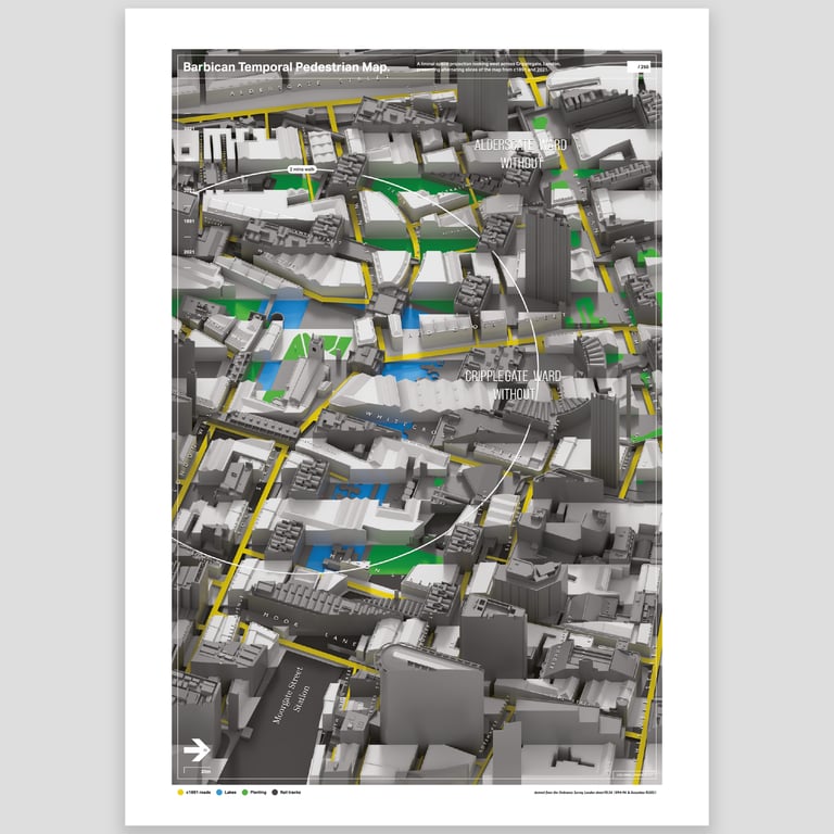
Barbican Temporal Pedestrian Map – West
The area immediately around the Barbican estate – a significant example of 1960s brutalist architecture – is the heart of old London. Layers of history, lives and conversation lie under concrete and glass; new roads follow old forgotten tracks and pathways. Between 1940-1941, this landscape was altered immeasurably, as a result of The Blitz. This print presents alternating slices of the map from prior to that time, around 1891, and today, 2021, as a projection of liminal space looking across this part of London, the ward of Cripplegate. It urges you to peer in and trace the C19th roads as they thread through lost buildings and corners, to the towers around us today.
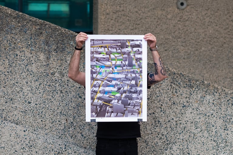
- View looking west
- Limited edition of 250
- B2 50cm x 70cm
- Lithograph print on 200gsm silk stock
- Individually hand numbered and stamped
- Note! Only shipping to the UK at the moment
Mapping data is derived from Ordnance Survey London and Accucities® 3D Model of London.